Reality capture,
down to the millimeter.
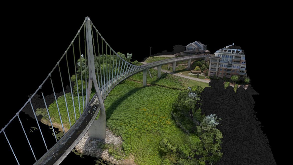
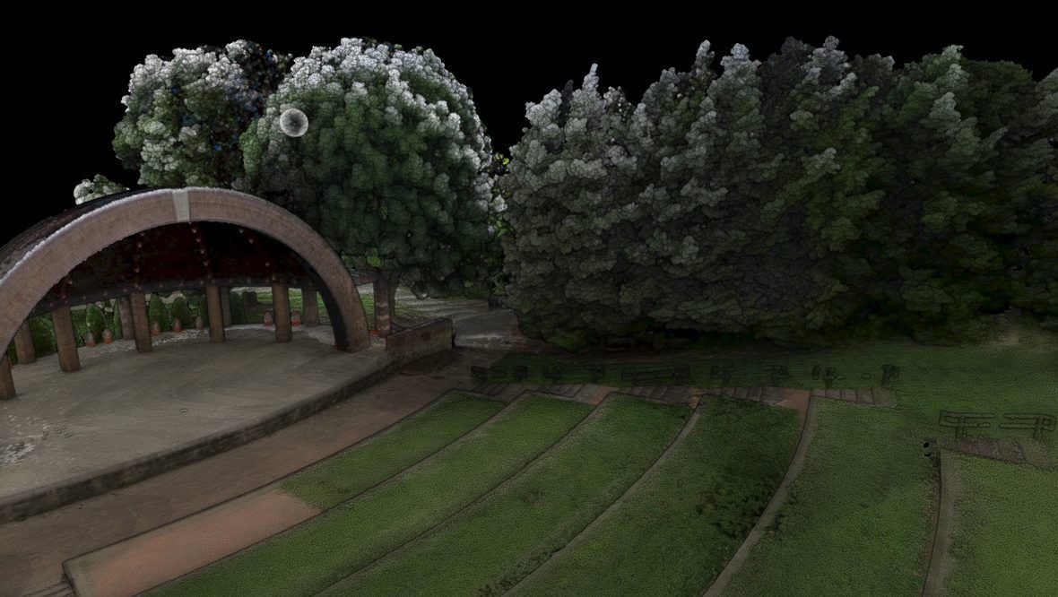
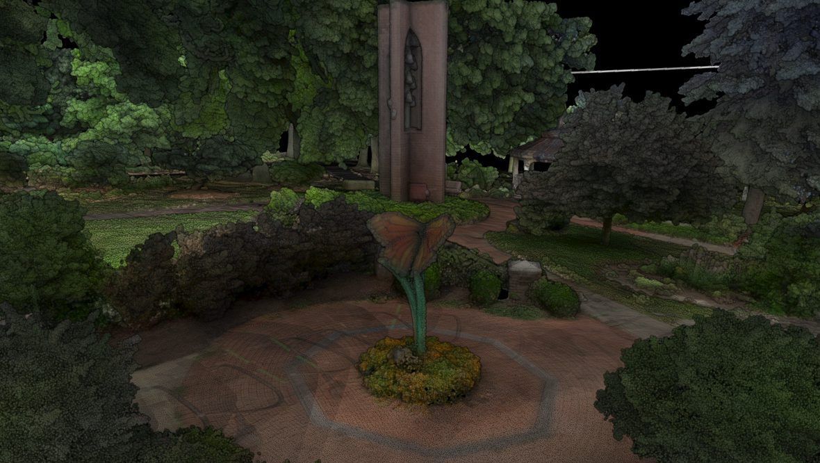
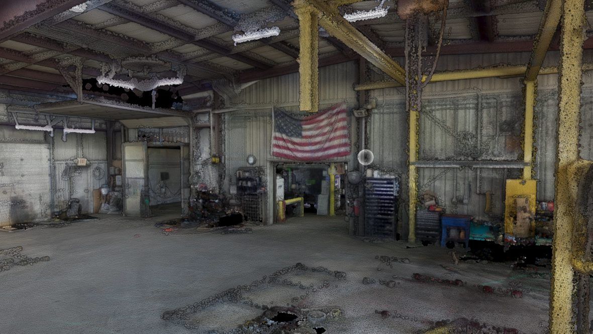
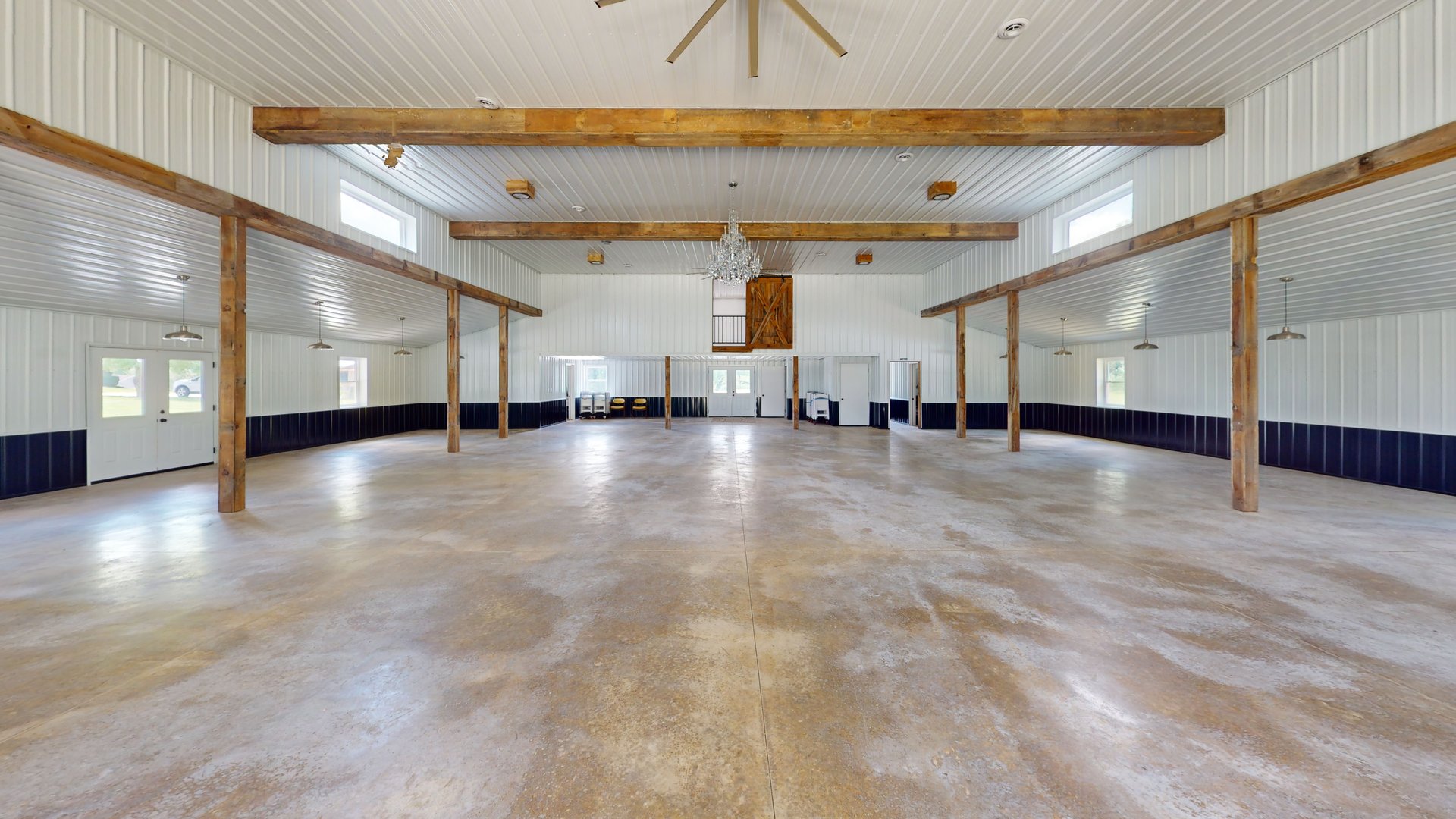
Interior and drone lidar, Gaussian splats, and 360° virtual tours for builders, architects, and owners. The scan below is real — press play and look around.
Delivered in every format your workflow reads
Don’t take our word for it.
Spin the evidence.
Fly through it.
Walk through it.
Gaussian splats put you inside a photorealistic copy of the site. Matterport tours let you walk it room by room. Press play on either — they work right here in your browser.
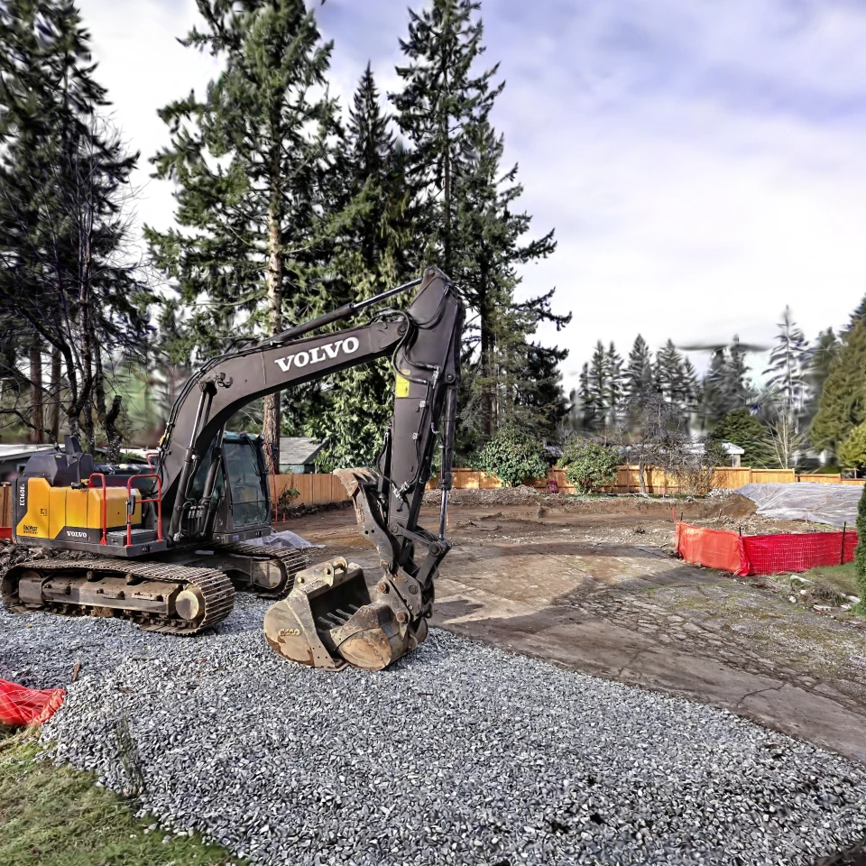
One capture.
Every deliverable.
One site visit. Total coverage.
Lidar scanners, drones, and 360° cameras capture the site — interior, exterior, and aerial — in a single coordinated visit.
Four ways to capture
one measured truth.
Interior and drone lidar, Gaussian splats, and 360° photography — pick the capture that fits the project, or combine them in one visit.
Built for teams that can’t afford to guess.
QA ongoing projects and document progress with scans instead of site visits.
Start renovations and retrofits from real existing conditions.
A permanent, explorable 3D record of your building or site.
Virtual tours and photoreal environments that sell the space remotely.
Immersive 3D content people actually stop and play with.

Run by David Fox — Army veteran, home inspector, construction manager.
Onsite Image gives commercial real estate and construction teams a clear record of the building as it exists — and a check against how it was designed.
Scan first. Build with certainty.
Tell us about the project. Scope and timeline within one business day.